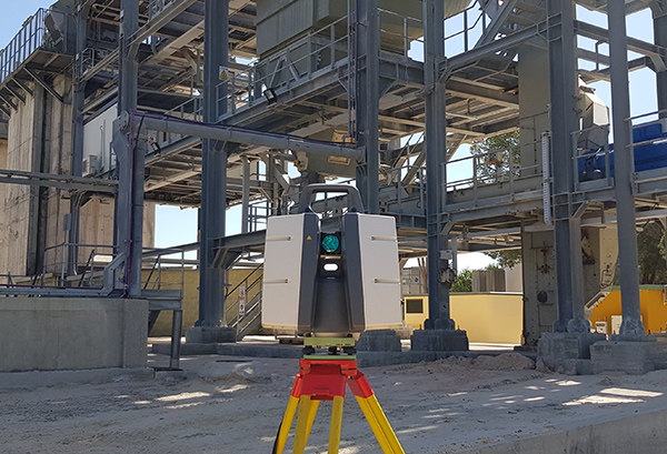
We obtain measurements in form of point cloud and then further process all the information.
There are projects where classical land surveying cannot get to obtain data to have the necessary information density or the required accuracy. For all these projects we use laser scanning surveying.
It is a working method that has excellent accuracy (0.5-1 mm). It is a non-invasive, no physical contact methodology and very fast in terms of data collection. If we talk about security and accuracy, it is the most appropriate one.
The most widespread fields of action with this methodology are industry, architecture, heritage and mining operations.
We have extensive experience, especially in industry, carrying out projects in Spain and Portugal.


